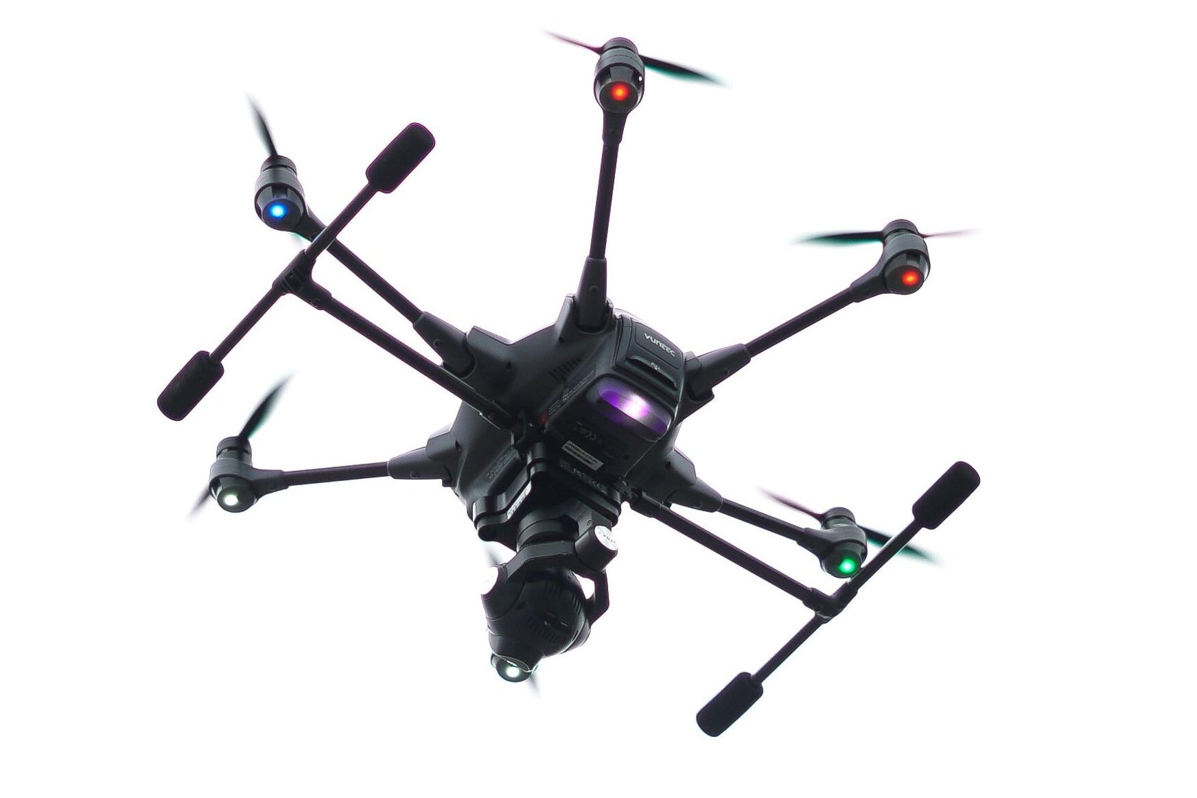
Your One-Stop Solution for All Drone Services!
S.M.E delivers advanced UAS intelligence and rapid-response aerial capabilities for public safety, emergency management, environmental operations, and critical infrastructure security. Our autonomous platforms and AI-enabled analytics provide real-time awareness and actionable insight—whenever and wherever it’s needed.
Residential
Protecting property, improving real-estate marketing, and enhancing situational awareness for homeowners and residential communities.
Commercial
Supporting business operations, property oversight, and facility security with actionable aerial insights integrated with real-time analytical software.
Industrial
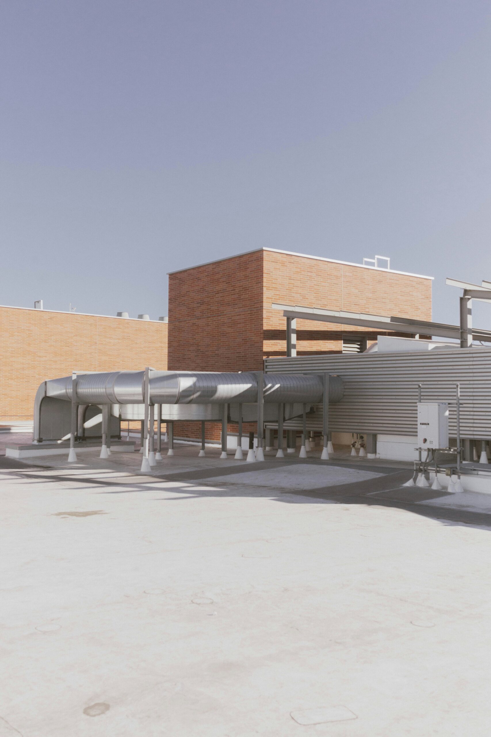
High-precision aerial operations supporting critical infrastructure, energy & government facilities, logistics hubs, and industrial environments around the globe.
About Us
Your Trusted UAS Solutions Experts
S.M.E is a veteran-led UAS solutions provider committed to delivering precise, reliable, and mission-ready aerial intelligence. We combine military-grade discipline, advanced analytics, and cutting-edge autonomous systems to support public safety, environmental stewardship, and critical security operations.
- 100% Satisfaction Guarantee
- 15+ Years in Industry
- Veteran-led professionalism
- FAA Part 107 certified & compliant
- Same-day or 24-hour reporting
- AI-Enhanced Detection & Analytics
Bringing Our Services to You
Our mission is to empower agencies and organizations with rapid, accurate, and trusted aerial capabilities that enhance decision-making, protect communities, and safeguard critical assets.

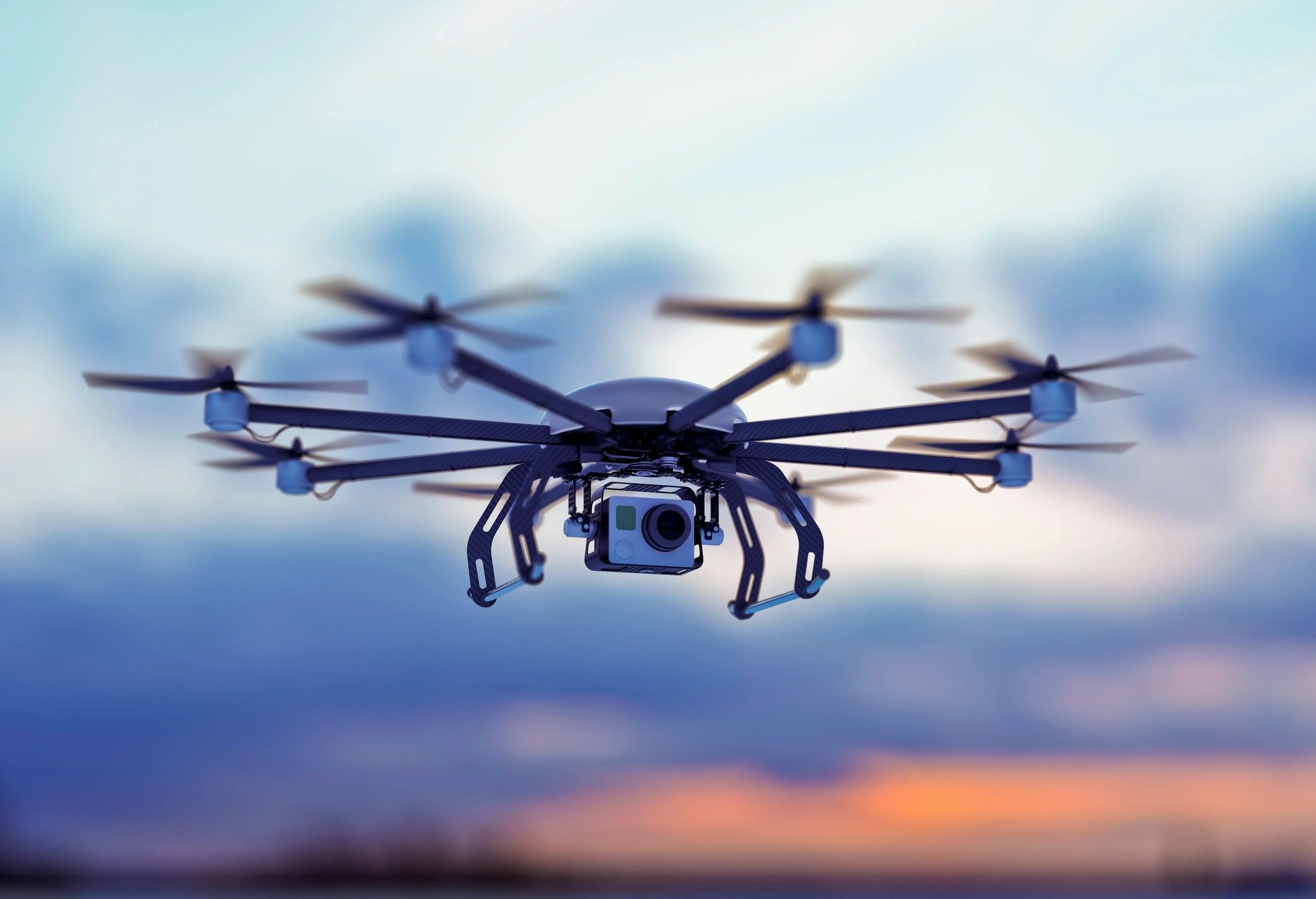
Aerial Surveillance & Reconnaissance
Real-time monitoring with analytical analysis for facilities, industries, borders, and critical infrastructure.

Thermal & Optical Intelligence Collection
High-resolution video, thermal mapping, and precision imaging enhanced with anomaly identification.

Emergency Management & Disaster Response
Rapid-launch UAS support for search and rescue, hazard assessment, and operational post disaster mapping.

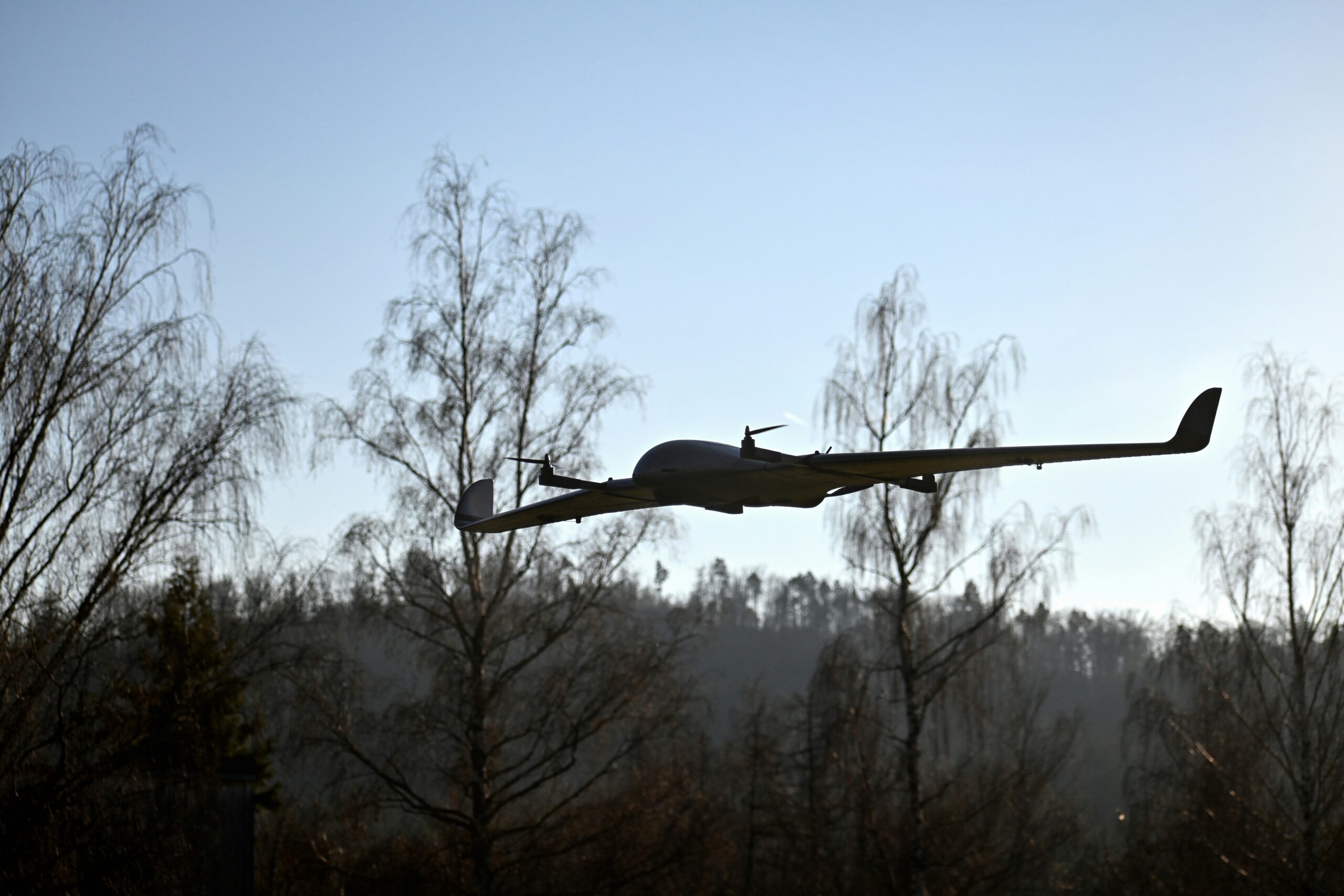
LiDAR & Remote Sensing Integration
3D terrain mapping, landscape analysis, and structural assessments integrated with autonomous detection.

Secure Command, Control & Data Management
Encrypted telemetry, compliant flight operations, secure mission data handling and reporting

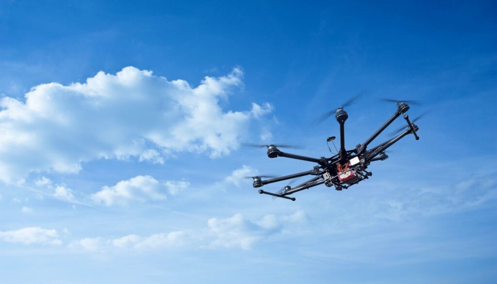
AI-Enhanced Flight & Analysis
Mission support for automated detection, data processing, and live analytics with tailored payload integration and custom configurations.
Elevate Your Operational Capabilities

Infrastructure & Perimeter Security Surveillance
We provide continuous and event-driven aerial surveillance solutions designed to secure critical assets, facilities, and geographic boundaries. Our unmanned systems deliver real-time video, thermal feeds, geofenced patrol patterns, and automated intrusion alerts, giving security teams an elevated vantage point without exposing personnel to risk.

Emergency Response & Rapid Aerial Deployment
We maintain mission-ready rapid launch kits and trained UAS pilots to support first responders and emergency operations centers. Our aircraft can deploy within minutes to assist in command-and-control, overwatch, damage evaluation, and rescue coordination.
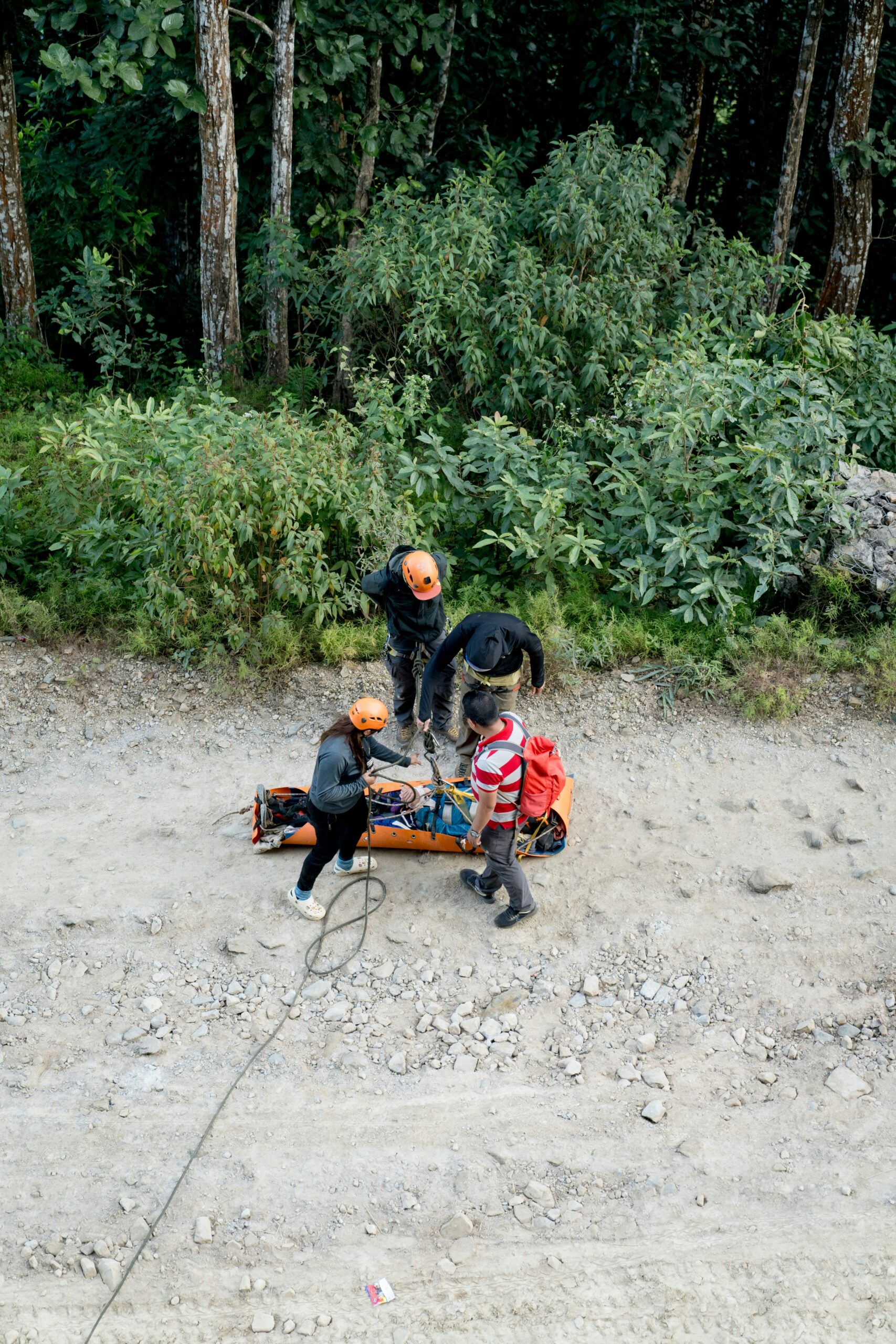
Search & Rescue Support
Our drones assist in locating missing persons and improving search efficiency by accessing terrain that ground teams cannot quickly reach. Equipped with thermal, optical zoom, and live-tracking systems, our UAS enhance search coverage while reducing risk and response time.
Aerial Inspections & Technical Mapping
Our UAS safely inspect structures, rooftops, utilities, and critical equipment to detect damage and maintenance needs without downtime or dangerous manual access.
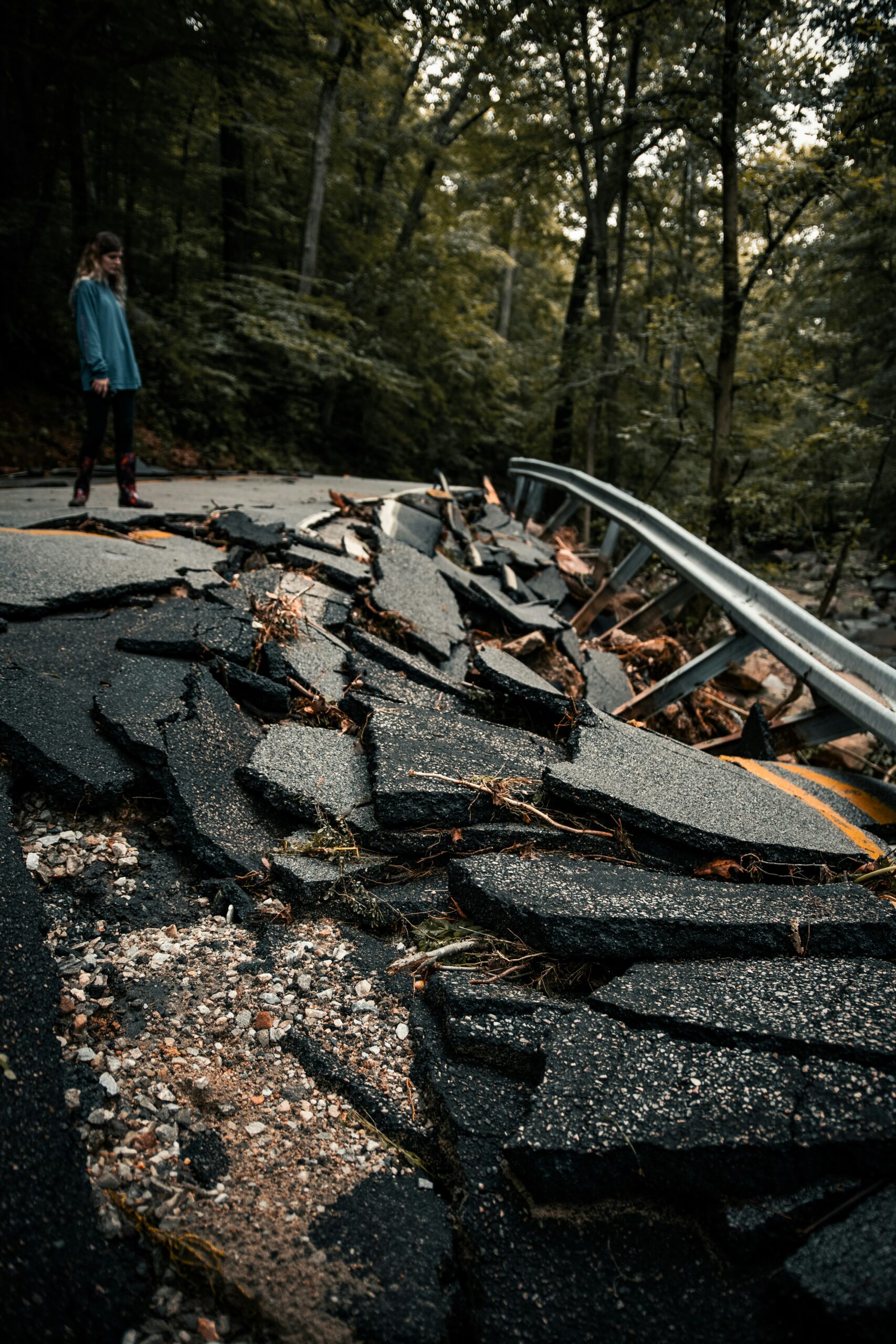
Wildfire, Flood, and Disaster Assessment
From storms to wildfires, we provide rapid aerial situational analysis to help response teams assess conditions, allocate resources, and prioritize safety efforts.

Thermal & Multispectral Environmental Monitoring
We deploy thermal and multispectral imaging platforms to identify environmental trends, detect anomalies, and support land, wildlife, and resource management. These sensors reveal details invisible to the human eye—identifying heat loss, water stress, plant health, and wildlife movement.
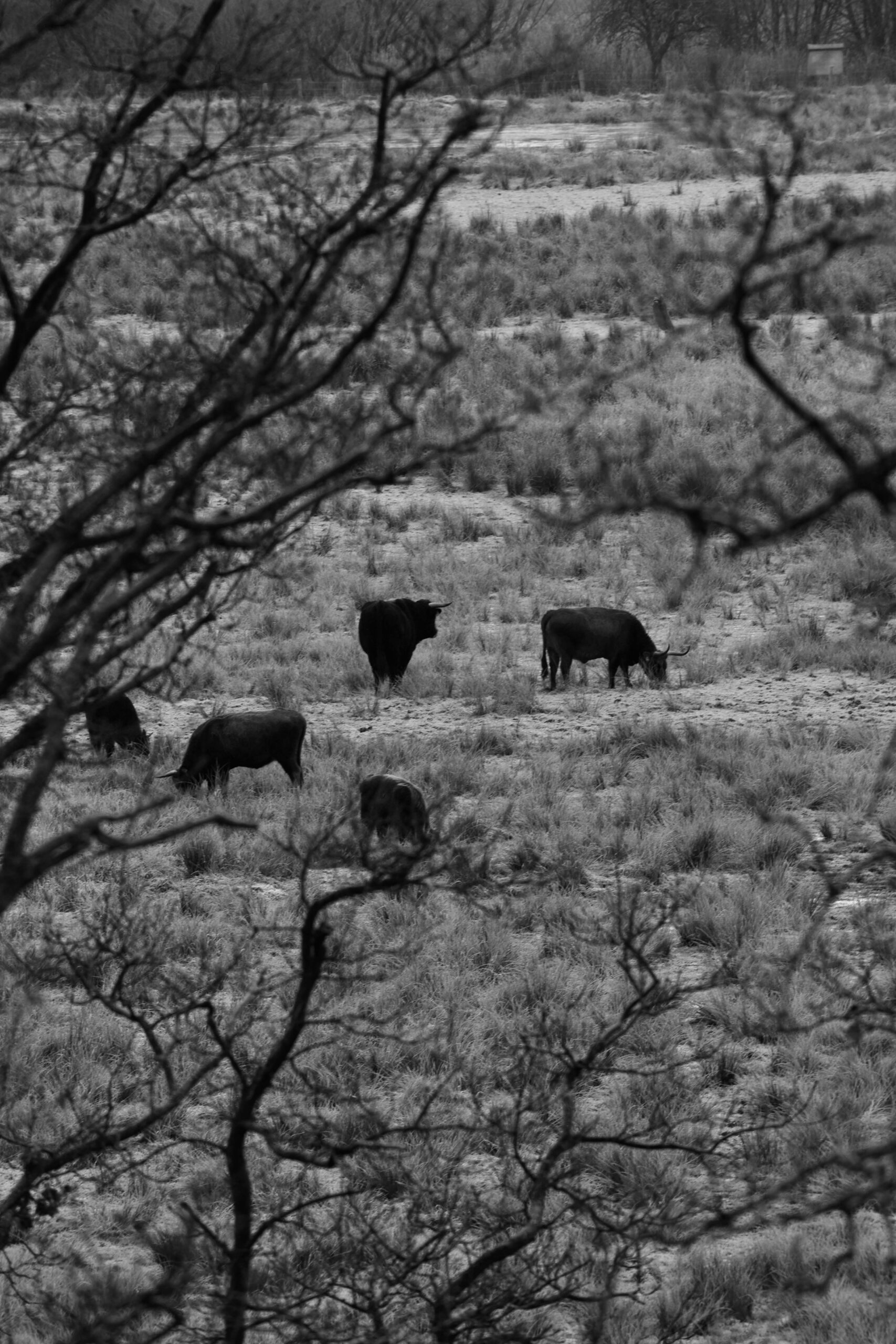
Wildlife & Agricultural Analysis
We support wildlife management, agricultural operations, and environmental programs with advanced aerial analytics. Our teams help monitor natural resources, track animal movement, and evaluate crop performance over time..
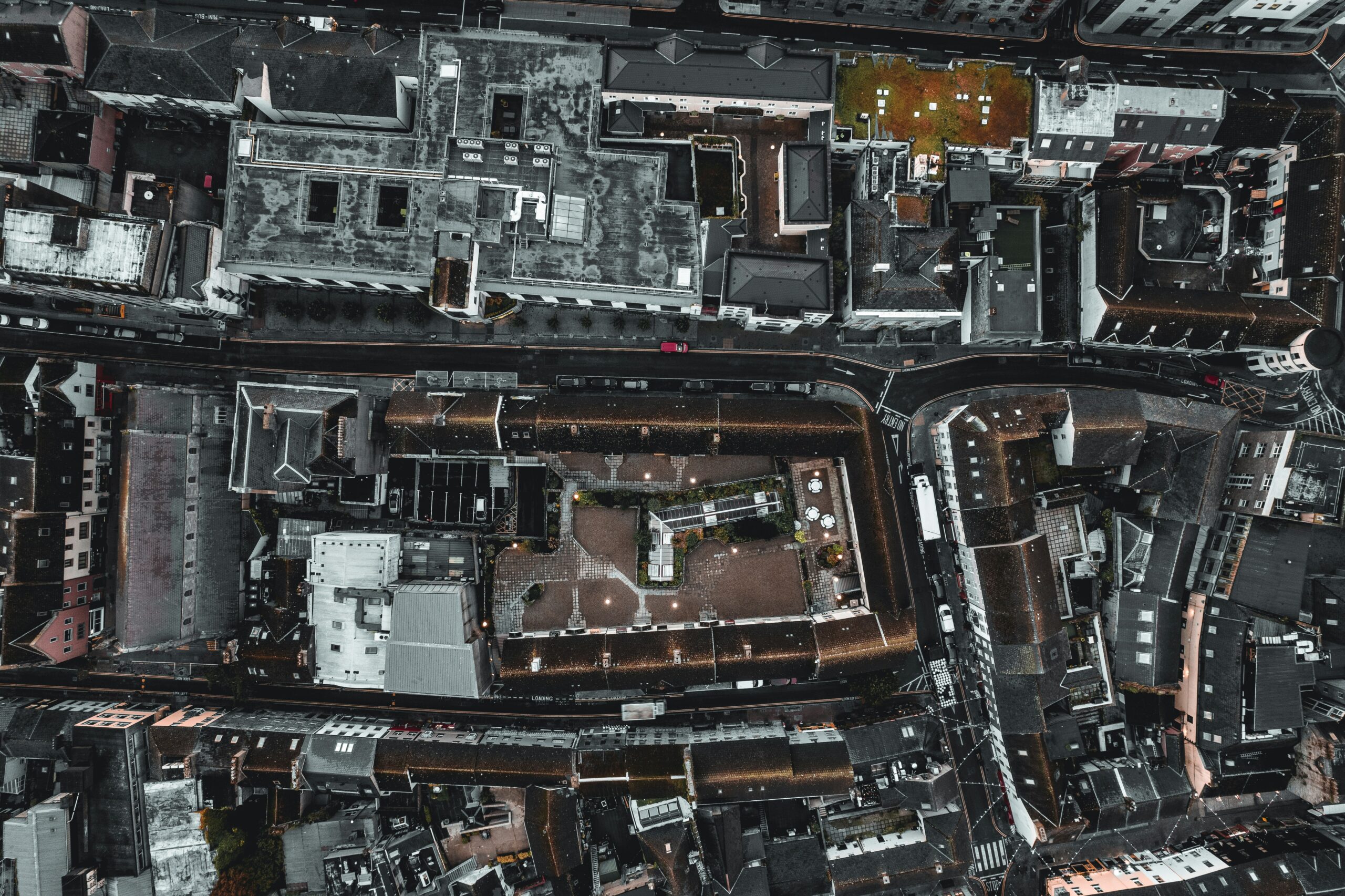
Hazard Mapping & GIS Data Overlays
We produce high-precision mapping products and geospatial overlays for emergency planners, engineers, environmental teams, and security operators. Our UAS deliver top-down, 3D, thermal, and LiDAR-class datasets for hazard and risk analysis.
We Could Tell You How Great We Are—But Our Clients Do It Better

“After a major storm, we needed to assess roof and property damage for our insurance claim, and SME Drones was outstanding. They arrived promptly, explained every step of the process, and used their drones to capture detailed imagery of our entire property. The report they delivered within 24 hours was clear, professional, and accepted immediately by our insurance adjuster. They saved us time, money, and frustration. Highly recommend them for any homeowner needing fast, accurate inspections.”
Emily R.
Homeowner
Pensacola, FL
“We manage several retail and office complexes across Florida, and SME Drones has become our go-to partner for facility inspections, parking lot surveys, and promotional media. Their pilots are FAA-certified, punctual, and extremely professional. They provide both the technical inspection reports we need for maintenance planning and the stunning aerial imagery we use for marketing. Having one trusted company handle both has streamlined our operations tremendously.”
Jason M.
Property Manager
Gulf Coast Facilities Group, Inc.
“We hired SME Drones for an infrastructure inspection at one of our industrial plants. Their team conducted pre-mission safety briefings, airspace checks, and coordinated with our engineers before flying. The data they captured helped us identify heat loss points and minor roof issues before they became costly. The entire process—from consultation to final report—was handled with precision and professionalism that reminded us of a military operation. Truly exceptional service.”
Robert T.
Operations Director
Southern Energy Solutions, LLC.
How We Operate
We ensure customer satisfaction by tailoring our services to accommodate your specific requirements. Our three phase systematic approach to solution identification allows for flexibility and adaptability-depending on mission, location & equipment required.
Phase 1
Consultation & Conceptualization
Every mission begins with understanding the client’s goals, operational environment, and required outcome. Our team conducts a structured assessment to define mission objectives and determine the best aerial solution.
Phase 2
Operations & Planning
With mission goals defined, we transition into detailed operational planning. This step mirrors professional aviation and public safety standards to guarantee safety, efficiency, and accurate data transmittal.
Phase 3
Execution & Completion
Once planning is complete, our professional operators execute the mission with precision, followed by thorough data processing & client delivery. The result is precise, reliable, and professional aerial intelligence received.
Frequently Asked Questions?
We span our solutions across a wide spectrum of clients consisting of homeowners, real estate professionals, commercial property managers, private-sector security/operations teams, and government entities. All with different aspects and usages for drone support.
What types of drone services do you offer for residential and commercial properties?
We provide aerial inspections, roof and structure assessments, real estate marketing imagery and video, thermal scanning, security patrol support, damage documentation, and precision mapping. Our services help property owners, managers, insurance firms, and real estate professionals make informed decisions quickly and safely.
Are you licensed and insured to operate drones for commercial missions?
Yes. We are fully insured and operate under FAA Part 107 commercial certification, with strict safety, privacy, and regulatory compliance protocols. Every mission follows documented flight procedures and operational checklists.
How long does a typical property inspection or imaging session take?
Most missions take 30–90 minutes on-site, depending on property size and mission scope. Deliverables are typically provided same-day for media packages and within 24 to 72 hours for technical inspection and analysis reports.
What are the benefits of using drones instead of traditional inspections?
Drone inspections eliminate the need for ladders, lifts, or roof access—reducing cost, time, and safety risk. They provide high-resolution imagery, thermal data, and comprehensive aerial angles that are difficult or impossible to achieve manually, especially for steep roofs, tall buildings, or large properties.
Can you help with insurance claims or storm damage documentation?
Absolutely. We frequently support insurance documentation, storm and hail damage assessment, hurricane recovery imaging, and before/after proof for repairs. Our geo-tagged imagery and reports help accelerate claims and reduce disputes.
Can you monitor commercial properties for security purposes?
Yes. We support facility surveillance, parking lot monitoring, perimeter patrol flights, and real-time video streaming for commercial centers, multifamily residences, gated communities, construction sites, and private estates. Scheduled patrol plans and emergency response options are available.
Do you provide real estate photography and marketing content?
Yes — we provide aerial photography, cinematic video, orbit shots, fly-throughs, and property overview footage to enhance residential and commercial listings, development sales, and marketing campaigns. Custom branding and edited media packages are available.
How do you handle data security and privacy?
Data security and privacy are core priorities. All mission footage, imagery, and telemetry are handled through secure, encrypted systems. SME Drones follows strict chain-of-custody protocols, and client data is never shared or stored beyond required mission deliverables without authorization or regulatory requirement.
Our Commitment
We meet the unique demands of each environment—supporting homeowners, property managers, construction firms, critical infrastructure operators, and industrial enterprises with precision aerial services that enhance safety, reduce cost, and improve decision-making.
Industries We Serve:
Whether you’re a homeowner ensuring property value, a commercial operator optimizing site operations, or an industrial leader securing critical infrastructure, S.M.E Drones delivers the aerial capability you need to make informed, confident decisions.
- Federal, State & Local Public Safety Agencies
- Emergency Management & Disaster Response Teams
- Environmental & Natural Resource Agencies
- Critical Infrastructure & Energy Providers
- Homeland Security & Defense Support Units
- Municipalities & Government Operations Centers
- Agriculture, Forestry & Wildlife Management Agencies
- Security & Risk Management Firms
- Utilities & Infrastructure Operators